ARGOS : : Kefalonia Digital Twin
Watching over the places we call home.
Προστατεύοντας τους τόπους μας
 Geo
Geo Watch
Watch Commons
Open-source digital twin of Kefalonia, Greece.
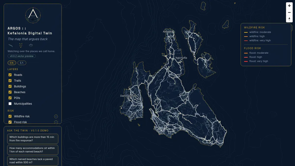
Building in public. v0.0.7 vector map is live.
NOW
Static island twin.
NEXT
Live environmental feeds.
THEN
Hazard outlook + history.
ARGOS is an open-source geospatial digital twin of Kefalonia, the largest island in the Ionian Sea. It combines satellite imagery from Copernicus Sentinel-2, topographic data from the Copernicus DEM, and the OpenStreetMap road and building network into a single interactive map. The project screens for wildfire risk, flash flood susceptibility, and travel-time accessibility to evacuation points. Every model is validated against historical events. Every limitation is documented. The code is open. The data is open. The methodology is public.
Data
OSM, Sentinel-2, Copernicus DEM
Stack
PostGIS, FastAPI, MapLibre
License
MIT - open source forever
Focus
Wildfire, flood, tourism pressure